Looking at the Virgin River
Looking at this landscape here in Zion National Park, one might feel it difficult to imagine that this area was once underwater. Hundreds of millions of years ago, this whole area was underwater. As is typical of formations like these, sediments were deposited over the millennia. Relatively recently, at least in geologic terms, the Colorado Plateau of which Zion National Park is a part of was uplifted. It rose above sea level to the heights that we see today. However, if that were the only case, this area would just be some dry featureless desert. This is where the Virgin River comes in.
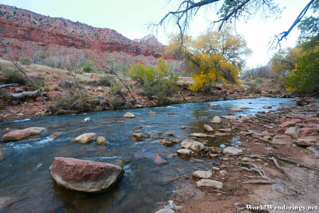
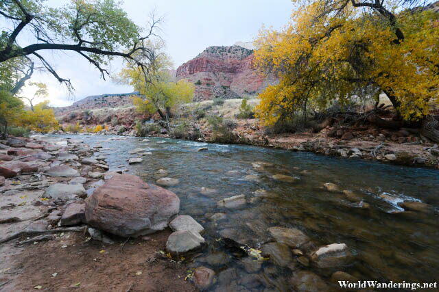
On the Shores of the Virgin River in Zion National Park
For visitors of the Grand Canyon, they would know that the Colorado River was an important factor in the creation of the Grand Canyon. Millions of years of erosion gave birth to one of the most prominent features of the earth. The Virgin River is Zion National Park’s Colorado River. Part of the Virgin River flows past the visitor center and I would have to admit that it isn’t very impressive. At this point in its journey, the river isn’t much to look at. It was also near winter so there was less water to go around as much of the water of the Virgin River also comes from snow melt. As the weather cools and freezes this time of the year, there would be less water going to the river.
It was easy to go have a look at the river. On the way to the Watchman’s Trail there is a short path which leads to the shores of the river. Underwhelming is probably one way to describe it since I find it hard to fathom how a tiny river like this would have been able to carve out Zion National Park. I don’t know how the water is when the snow starts melting but surely it would be much more than this. I would think that there used to be much more water here and that over thousands of years, the river was able to carve out the Zion National Park that we see today.
[xmlgm {http://www.worldwanderings.net/kml/ZionNationalPark.kmz} zoom=19]