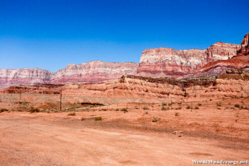
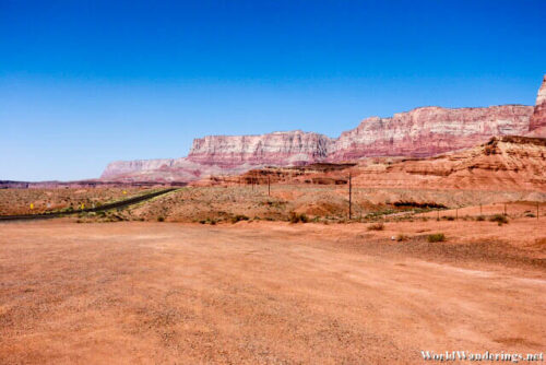
On my way to the North Rim of the Grand Canyon, I got to see the raw desert scenery of this area of Arizona. Although I know that this isn’t exactly the best that this region has to offer, I was already amazed at what I have been seeing. I was surprised to know that this whole area that I was traveling in is actually elevated. I only found out when I saw that the Colorado River actually flows much deeper. It isn’t as deep as the Grand Canyon in these parts but it is still quite a bit of height considering I thought this was all flat to begin with.
The area isn’t all flat though, even from Antelope Pass where I came from, I can see that there are some mountains which are in the distance. I didn’t know where the road would take me but it seems that I would be going towards some impressive looking mountains. They look a lot like the cliffs I would see in Ireland except that they are on land. Perhaps sometime back this was all water and the cliffs formed. When the water receded, this dry land was what remained. The impressive set of cliffs that I see in the distance is the Vermillion Cliffs National Monument. I know that I won’t have a chance to actually extensively visit the place but at least I would like to take photos however I can.
[xmlgm {http://www.worldwanderings.net/kml/VermillionCliffsNationalMonument.kmz} zoom=19]

