The Navajo Bridge seems to be one which popped out of nowhere. I was driving in the middle of the desert on my way to the North Rim of the Grand Canyon when I saw a sign for the Navajo Bridge. The bridge was built to make it easier for people in Utah to reach Arizona and vice versa. Because it was a challenge to cross the Colorado River at the time, there was a dedicated Lees ferry further down the road which will help people cross the river. The construction of the bridge was a major accomplishment as it shortened the distance of travel to get to the other side of the river. Without the the ferry or the bridge, one would need to travel 300 miles just to get to the other side.
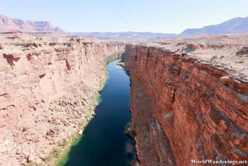
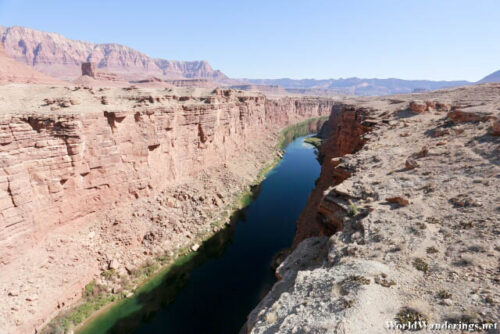
The Navajo Bridge is a major piece of infrastructure in the region and I was glad that it was there. I never realized that it would be that difficult to built a road all the way out here. I guess if I think about it, here is actually in the middle of nowhere. Who would want to build one all the way out here. The bridge is now pedestrian only. The newer Navajo Bridge was built much later for heavier vehicles. Tourists can now visit the old Navajo Bridge and it is actually pretty long once you get there. You can see a section of the Colorado river cut through the landscape as it does elsewhere. I was actually surprised to see how high up the area was, or how much lower the canyon floor was. I was happily driving on the elevated land, not knowing that I was already that high up. From the bridge, the Colorado River doesn’t look as mighty as it might have once did. It is still amazing to see it here from the bridge.
[xmlgm {http://www.worldwanderings.net/kml/NavajoBridge.kmz} zoom=19]

