I have passed by the Benbulben mountains several times and I always admired the shape of the mountain. It is reminiscent of Table mountain in South Africa. The sides of the mountain are steep which makes it a challenge to climb. The top of the mountain is relatively flat giving it that table appearance. I managed to find where the trailhead is for the hike up Benbulben. It isn’t just a matter of going to the mountain and start climbing because the slopes are really that steep. You need to go to Luke’s Bridge and start your climb there. That should be a manageable climb from there. Alas, I’m in no shape to climb nor hike. I would like that again for another day. For now, I would just go around the area.
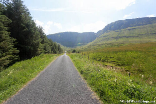
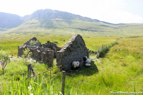
Another sign which I saw on the way here is one for Gleniff Horseshoe. I assume this is because of the shape of the area that it it called that. I tried going there before but I couldn’t find it and eventually gave up. This time around, I am determined to find the place. The signs here were almost non-existent apart from the ones along the main road. So there is little help you find the place apart from Google Maps. Once again, make sure you have the maps downloaded beforehand so you will be able to use Maps even if mobile signal is spotty. I only knew that I have arrived when I saw people stopped by the side of the road and taking photos. There won’t be too many people here and if you are lucky, you can get the whole place all to yourself.
[xmlgm {http://www.worldwanderings.net/kml/GleniffHorsehoes.kmz} zoom=19]

