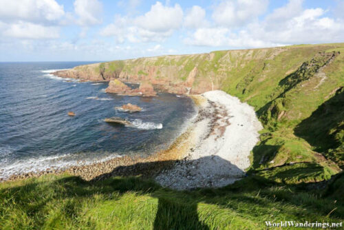
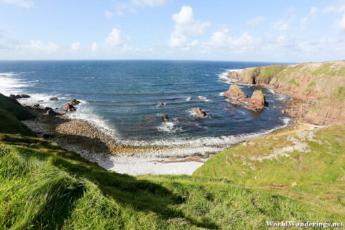
When I was researching about the Bloody Foreland, I noticed that people posted photos of beautiful cliffside scenery. This is why I went there in the first place. However, when I got to the Wild Atlantic Way marker, there was only a view of the surrounding area. This is not to say that the view wasn’t good, but I came here looking for the cliffs. Google Maps itself wasn’t any good since it seems to say that I was in the correct place. I tried to figure out where it could possibly be. My eye kept getting drawn to the land to the right of the viewpoint. I can’t see anywhere else it could possibly be.
I decided to retrace my steps and went back until a saw a road which leads that way. It passes through a small village but my goal goes past that. The road goes past the village and eventually to some farmland where I found what I was looking for. Sure enough there were cliffs here and they looked impressive. The Bloody Foreland supposedly takes it’s name from the reddish color of the rocks here, however I didn’t notice it that much. I initially thought that it was because of some historic battle which happened here but it turned out to be just about the color of the rocks. It is said that it looks much better when the sun sets however I don’t think I would be here to find out.
[xmlgm {http://www.worldwanderings.net/kml/BloodyForeland.kmz} zoom=19]

