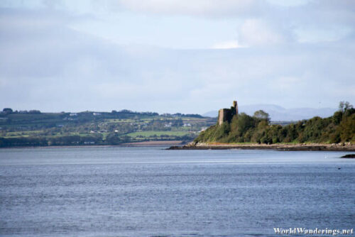
Once in a while, I would go out on long drives to see something interesting I saw. Most of the time, I would be able to find what I was looking for as a lot of these places are very well signposted. When in doubt, I would consult Google Maps. However, sometimes there would be times where even Google Maps can’t help. This is quite true in several occasions especially when looking from something which is out of the way. My previous visit to Inch Island was an example of that. When I thought to visit Inch Island, I knew that there was an Inch Castle. However, an it does show up in Google Maps. However, what Google Maps doesn’t tell you in this case was how to actually get to the castle.
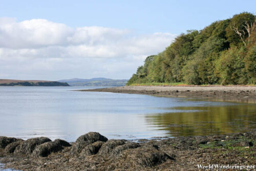
When I first visited the island, I was followed the main route around the island and came seemingly close to the castle. I couldn’t see it but it was nearby. It was being told to get off and start walking. Walk where? There was just the road and farmland here. I gave up looking for it and decided to come back another day. Today was that day. This time I head to the parking lot where the Wild Atlantic Way sign was. If I couldn’t find the castle, I thought to just walk along the beach here. Turns out that this was the way to the castle. If you follow the beach here, you will eventually end up at the castle. Note that the trail even even along the beach isn’t very nice. There are washed up seaweed here which may be a slippery so just be careful where you walk. Also, I don’t know how high the tide goes here but if the tide covers much of the beach, the castle might become inaccessible.
[xmlgm {http://www.worldwanderings.net/kml/InchCastle.kmz} zoom=19]

