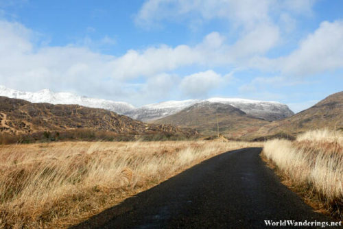
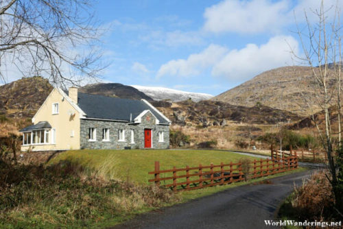
I was hoping to just follow the road signs when I was driving around Killarney National Park. I’m sure that I would end up at some interesting places if I follow them. However, it seems that the signs weren’t that plentiful here. I managed to make it all the way to Lough Barfinnihy where I had to stop and take photos. That also get me a chance to look at where was I going in the first place. I was thinking of going to the Black Valley because of a sign I saw but the map shows that I am on my way to the town of Kenmare. I have visited Kenmare years ago and I didn’t think that I need to go back there. I thought that I should just turn around.
As I was retracing my steps, just before I get to Moll’s Gap I saw a sign which points to the Black Valley, it seems to be a steep road down the mountain, which probably makes sense since it is a supposed to be a valley. While the name may wound ominous, the actual place really isn’t. It is probably so named because it is in a valley and it doesn’t get a too much sun. From the valley floor, the mountains looks much taller. This is especially nice since the mountains are still have some snow on them.
[xmlgm {http://www.worldwanderings.net/kml/BlackValley.kmz} zoom=19]

