I was walking along what seems to be a very long road which is lined with high walls. I thought I understood the layout of the city of Meknès but I had to throw that out the window. Why would a road like this be bounded by two walls. It is isn’t like I was inside the walls. That means that were two separate areas which are surrounded by walls. I was looking at Google Maps and it was telling me that the area on my right as I am walking away from the medina is a golf course, more accurately, Royal Golf. Why would there be a royal golf course? There couldn’t have possibly been golf when Sultan Moulay Ismail was in power. Turns out it was actually the royal palace that was there.
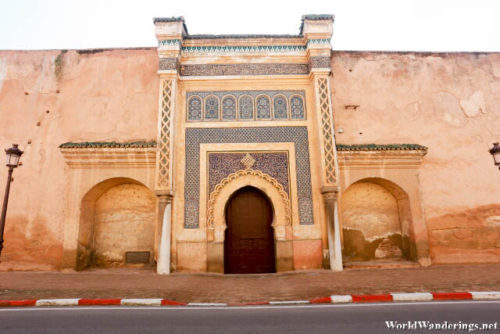
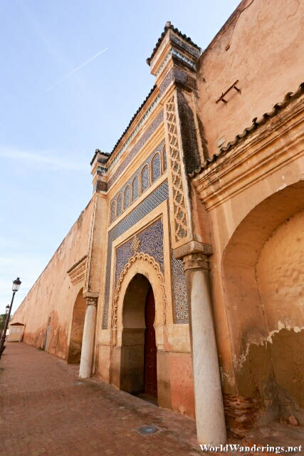
The royal palace had vast greens and part of it got turned into a golf course. Again, there was no indication as to what was beyond the walls. If I didn’t look at Google Maps, I wouldn’t have known that there was a golf course there. As for the royal palace, the only clue I had was this nice gate which was along the walls. The gate is closed and guarded. It doesn’t seem like it was open to visitors anyway. Either way, I didn’t even know it was the royal palace behind it. In the end, it didn’t really matter since looking at satellite images, some parts of it seem to be in ruins while there seems to be one building which is intact. It is not possible to enter the palace anyway, so you can only imagine how it looks like from the outside.
[xmlgm {http://www.worldwanderings.net/kml/RoyalPalaceMeknès.kmz} zoom=19]

