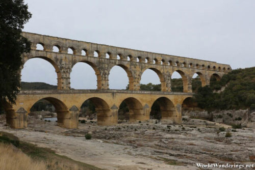
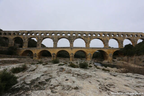
The aqueduct at Pont du Gard just sits there and it doesn’t do anything. Its use as transport for water has long been done. These days, it is just a tourist attraction for Roman engineering genius. There are numerous Roman aqueducts in France but this one seems to be important enough to make it to the UNESCO World Heritage site list. This is probably because it is part of a long system of aqueducts which span fifty kilometers. It is amazing how all of this was planned an constructed without the use of computers. Obviously back then everything was computed by hand and mistake were probably inevitable. I wonder what happens if someone discovered that the calculations were wrong and downhill side is actually higher than the other side. The water wouldn’t have flowed down as expected.
There weren’t a lot of tourists when I visit Pont du Gard. I actually never heard of Pont du Gard before and I only found out about it because it was part of the UNESCO World Heritage site list. I decided to go down the river and see if I could get another angle of the aqueduct. I noticed that the front of the aqueduct was actually accessible to intrepid visitors. The riverbed was exposed as the water seemed to be very low. I wasn’t sure if this was because it was just dry season or it really is the normal level of the water. The other side of the aqueduct seemed to have much more water than this side. It would probably be nice to see the river much more full than it is now.
[xmlgm {http://www.worldwanderings.net/kml/PontduGard.kmz} zoom=19]

