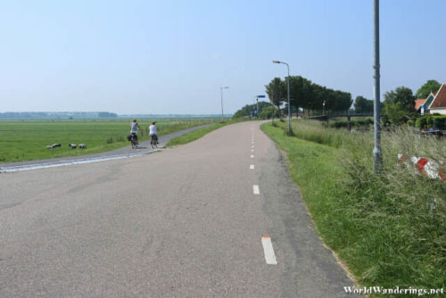
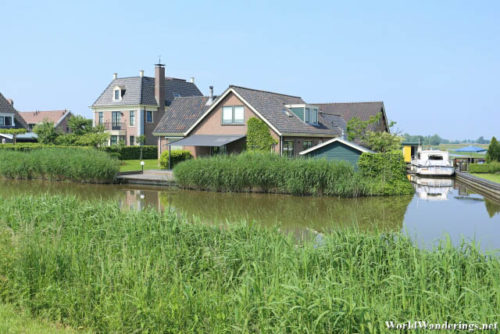
We were basically randomly wandering around Beemster. We asked the lady at the tourist center where we should go and she gave us a few places including one at the western end of the map. There was a line or a border named Westdijk, which I took to mean western dike. I guess it would be a nice experience to see the famed dikes up close. As you might expect, the Westdijk forms the western boundary of the municipality of Beemster. It is actually a dike which is large enough to build a road on. I think one can see interesting things here.
The Westdijk forms a dike which keeps water out. Standing here you can see that the land on both sides of the dike are not even. The Beemster side is much lower thought you will never know that when in the villages. I don’t quite understand how it came to be but it seems that the Westdijk forms a defensive line to keep Beemster dry. Looking at this, you can see the scale of engineering that needed to be done here. Beemster itself is already large enough but to see that there is a dike and land further out of the Beemster, it truly boggles the mind.
[xmlgm {http://www.worldwanderings.net/kml/Beemster.kmz} zoom=19]

