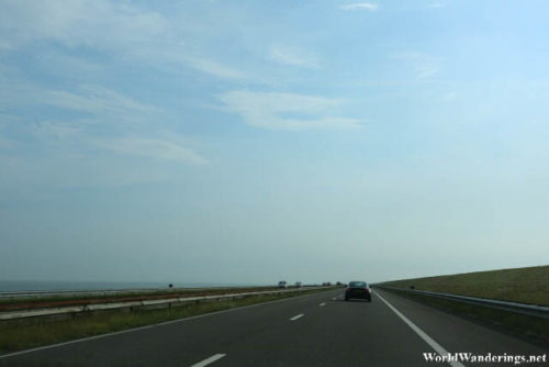
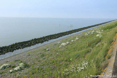
When I was poring through the map of the Netherlands. I noticed something strange. The Holland part of the country is separated by a body of water from the eastern part of the country. That isn’t the strange thing. When I looked closer there seems to be a line running from one side to another. I immediately thought that it looks like a road but it runs over the water so I quickly dismissed it. As it turned out, I was looking at the Afsluitdijk which is probably part of the great engineering marvels which the Dutch have done. There is really a road there and we were heading there to get to Amsterdam.
From the city of Harlingen, we passed through the village of Zurich to enter the highway. Before that we were running low on petrol so we filled up first. One needs to be careful when using cards here, it seems like some companies grab more than they are supposed to as part of some collateral in case the card is bogus, at least that it what I was told. I eventually got my money back but I had to call to make sure it wasn’t a double charge. Anyway, Zurich is the main gate way to the Aflsuitdijk. Apparently, this is a full highway which connects east and west. It also happens to be the fastest way back to Amsterdam. The lady was right, this way is much better.
[xmlgm {http://www.worldwanderings.net/kml/Afsluitdijk.kmz} zoom=19]

