Before we left the bed and breakfast, we were given a map which sketches out an area north of Galway. We didn’t know about this place and it was highly recommended by our host so we decided to go for it. The area is called Connemara and I only heard about this name through food. It seems that it is known for seafood. We had only the map of our host to go by and we didn’t know what the destination was. We were under the impression that there would be individual places of interest along the way which are marked by photos. It was a confusing map. The only thing which was clear to us was that there was monastery at the very end. We would probably end up visiting that but we have to get there first.
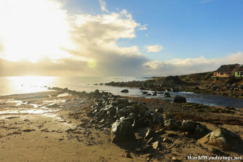
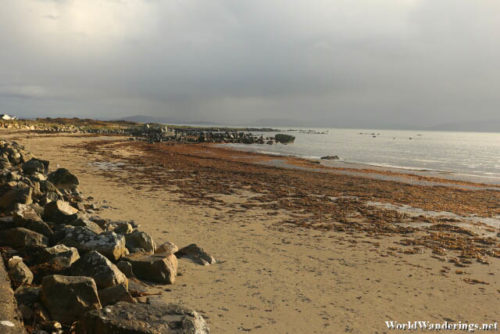
The way was following the coast for the most part and the view was stunning. It was a nice day and we had a few nice breaks in the clouds. We passed through several towns along the way. I didn’t really see anything worth stopping for nor did I see any signs which point to some attractions. So we just kept driving. We came to a road which was along the sea and we thought that there was a nice view here. Fortunately, there was a parking area nearby and we stopped to take some photos. I wasn’t really sure what the name of the place was but the maps say it is called Barr Na gCurragh near the village of Spiddal. They have a nice seaside promenade with seats to let visitors enjoy the beautiful seascape. I think this place would make for beautiful sunsets but we didn’t want to wait that long. Already the sun was going down and we still have the whole afternoon left.
[xmlgm {http://www.worldwanderings.net/kml/BarrNagCurragh.kmz} zoom=19]

