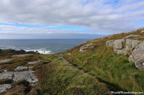
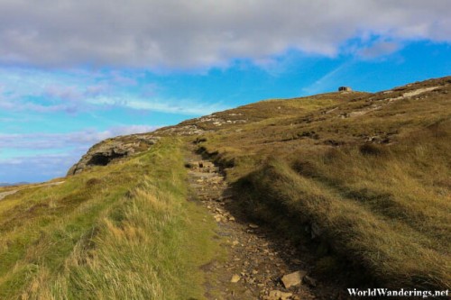
Once you get to Banba’s Crown in Malin Head, and come to terms that you are in the island of Ireland’s northernmost point. No big deal really but this place still has amazing scenery as you look out from the top of the hill and into the Altantic Ocean right in front, then to the rugged coastline to the right. To the left, is another stretch of rugged terrain, and at the very end is Horn Head, on a clear day. We decided to head back and try another trail to the left of Banba’s Crown. The trail is accessed through the carpark with a dirt path leading the way.
The path here although it isn’t really paved it already quite decent, at least when compared to the path we took when we went to Horn Head. This one is a real path. Along the way we met some engineers and they were installing something. I asked them about this and it is to install trackers. Apparently, there has been a call to improve the path here in Malin Head to support local tourism, however, to be able to justify the budget for fixing up the path, you need numbers. Basically, these trackers count the number of people passing through the path. I’m not sure what technology they used here but they were inconspicuously kept in wooden posts. Very similar to the ones they used to build the fences here. While the path here isn’t too bad. I would very much like it to be improved nonetheless.
[xmlgm {http://www.worldwanderings.net/kml/Banba’sCrown.kmz} zoom=19]

