We followed the trail ahead of us using the very handy map provided to us by the park. There are three major trails which are basically extensions of each other. The map also indicates how long it will take to traverse each trail. The mangrove trail wasn’t really that long but at least it was all on elevated wooden walkway that avoids touching the plants. It was not before long when we got to this clearing with seats for the weary.
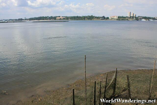
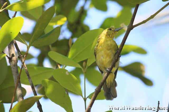
I took this time to grab a drink and relax in the hot and humid air. The stopover was beside the sea and you can see a good view of Malaysia from here. The Malaysian state nearest Singapore is the state of Johor, the city center was not within view though but there were quite a few buildings that can be see in from the park. The stopover also has some shade where a few birds were also taking shelter. I was lucky enough to photograph one of the birds that were hanging out in the tree just above us. I am no bird expert so I can’t tell what species of bird it was.
[xmlgm {http://www.worldwanderings.net/kml/SungeiBulohWetlandReserve.kmz}]

